IoTrash is a waste tracking tool used to both improve infrastructure planning and reduce the amount of waste lying around in nature, thus improving the well-being of the general public.
IoTrash is a waste tracking tool used to both improve infrastructure planning and reduce the amount of waste lying around in nature, thus improving the well-being of the general public.
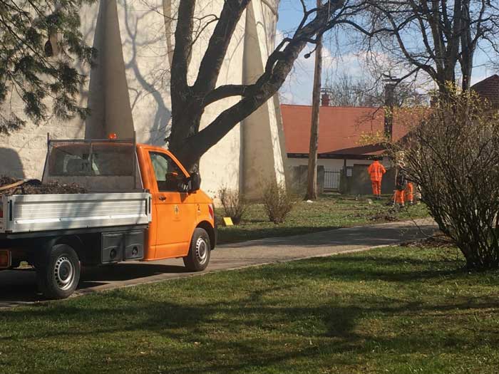
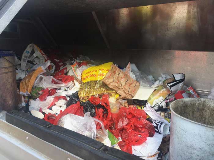
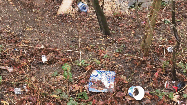
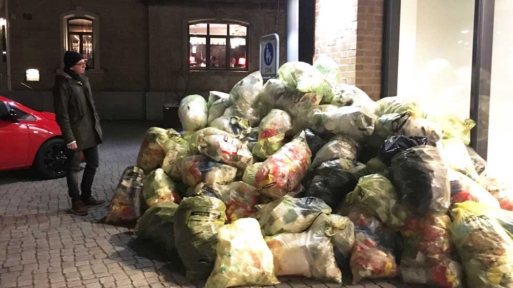
The littering of the environment in general is a major problem for the future. Not only in the oceans, but also in the cities we can observe the pollution of our environment. This doesn't seem to affect many fellow citizens. This can be seen on the one hand in the permanently overfilled rubbish bins and on the other hand in the rubbish lying freely in nature. This is also confirmed by the employees of the responsible authorities: "Especially in summer, we have to clear public rubbish bins several times a day and pick up a lot of rubbish besides the bins and in the nature."
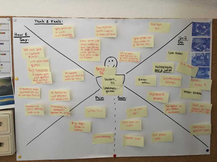
In smaller towns, city workers still have the possibility to keep track of the particularly affected places, they are familiar with their route and in case of reports of littered places they can quickly reach the spot and remove the pollution. This gives them an overview of the litter situation in the city, which is impossible for workers in larger cities.
In larger cities, it is far more difficult to keep track of pollution. It is also more difficult to detect changes in littering here. Where is there more litter today than in years past? Which type of litter predominates? How can we counteract this in order to improve the situation again in the following years? The "Internet of Trash" project aims to answer these questions.
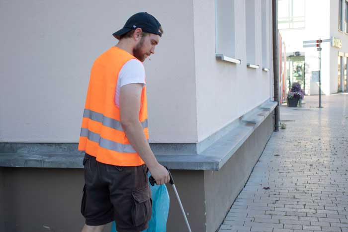
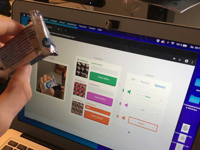
In the future, our litter tracking tool will help improve infrastructure planning as well as reduce the amount of litter that is left in nature. This is done with the help of a rubbish tong equipped with a camera and machine learning software.
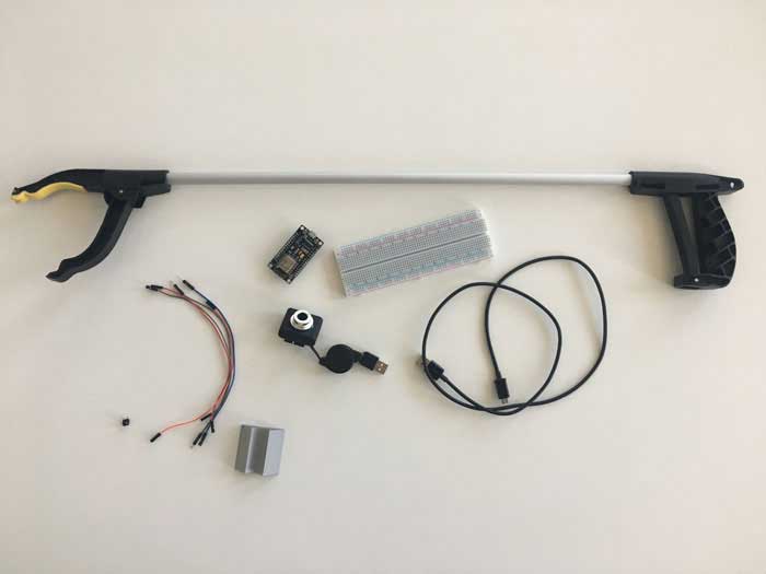
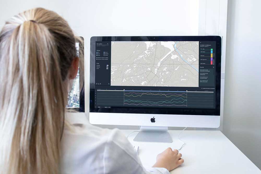
With each grab, the rubbish is scanned and recognised by machine learning. The result of this evaluation is then sent to a database via WiFi, which makes this data available for further processing. In the IoTrash application, this data is processed as a heat map and made accessible to the user. The user can then identify heavily littered areas and treat them accordingly.
Semester 6
SS 2019
Unser Research
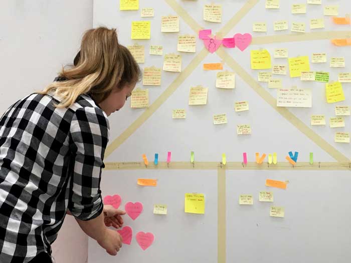
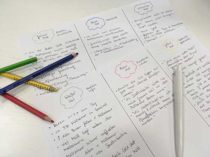
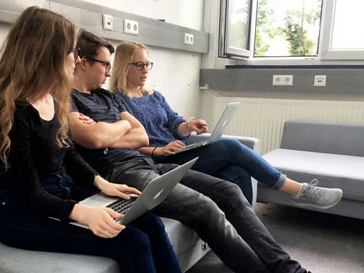
Synthesis
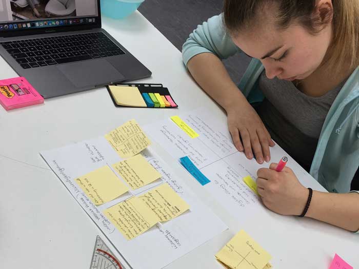
Conception
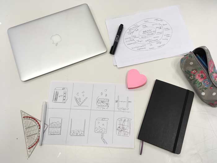
Hardware Prototyping
Coding & Arduino Prototyping
UI Design (Heatmap variations)
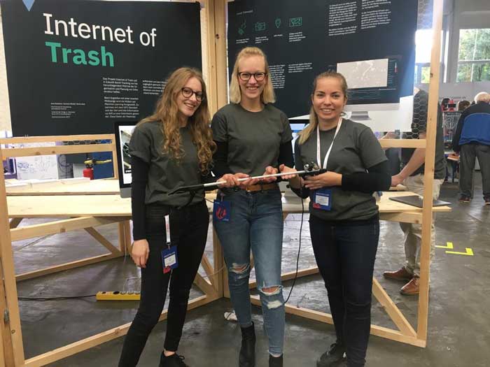
MAKE OW in Schwäbisch Gmünd